
Did you know that you can download an ISO image to burn to CD of the Utah Off-Highway Vehicle Maps 2011 Edition CD-ROM here. 600MB
There are literally thousands of miles of trails on Disk.
You will need a copy of National Geographic Topo to use it.
The Utah Division of State Parks and Recreation has produced this disk to help OHV riders and enthusiasts find enjoyable trails and riding opportunities.
All users of this disk should be aware that this is not a complete collection of OHV opportunities in Utah, but is only a guide to some of the great riding to be found here. These maps should be used for planning only. Some routes may not be accurate enough for GPS navigation.
Riders are encouraged to contact the various federal, state, and county land managers for information on additional riding opportunities. Contact information can be found on the Utah Division of State Parks and Recreation website at www.stateparks.utah.gov
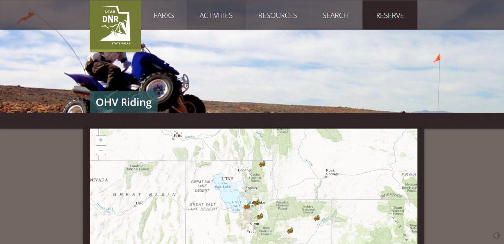
Whether you’re riding the salmon-colored sands of Coral Pink Sand Dunes State Park or cruising along the winding dirt trails of Wasatch Mountain State Park, the Utah State Parks Off-Highway Vehicle (OHV) program wants you to ride safely and protect your riding privilege.